This gallery contains 5 photos.
This gallery contains 5 photos.

This gallery contains 3 photos.
This gallery contains 3 photos.
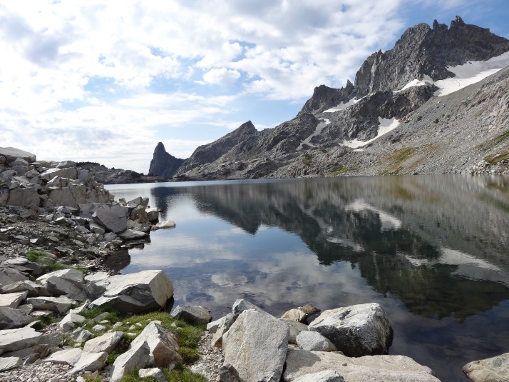
Iceberg Lake is a perfect reflection bowl for the Minarets, a series of towering fin-like spires. The clouds were beginning to gather again, and the campsites were plentiful. The snowfield expected along the route up to Cecile Lake is not present this late in the season, so there is no need for an afternoon crossing. All factors lined up for an overnight stop at Iceberg Lake.
As the clouds gather and darken, we see three hikers descend the route down from Cecile Lake. They stop near our camp: it appears to be a son in his late 30’s, with his parents, in their 60’s. They have enormous packs. Steve checks in with them. They tell him that they are a day behind already, and hope to descend down to Ediza Lake. It’s clear that they are tired and stressed – not good for high country travel. And, we are amazed to see them pull out hardware like a three-legged stool, to rest on, and eat conventional (bread and meat) sandwiches. It’s no wonder that their packs are large and heavy, and evidently not matched to the fitness level of all of the party members. Rather than stay put, the trio moves on down towards Ediza. We hoped that they made it to shelter when it started to rain again.

This gallery contains 4 photos.
Today, we will assess our route as we progress. The trip report we used to plan our trip had experienced difficulties finding their way through the creeks, trees and low brush while crossing the meadows above Ediza Lake. In retrospect, they suggested, it would have been more efficient to drop down to Lake Ediza, and follow the shoreline around to the route up to Iceberg Lake.
But, taking that route would mean dropping, and then reclimbing, a significant amount of elevation. If the route-finding did not seem difficult, we would try to stay above Ediza. Soon after crossing the pass from Nydiver to Ediza, came met a pair of hikers hiking out from Iceberg. They had taken the cross country route, and indicated which way they had traveled. This gave us the confidence to keep moving across the landscape above Ediza.
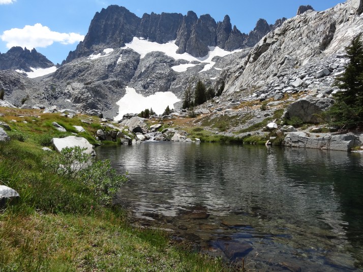
This watershed had much more moving water, and we made several bootless creek crossings. We started up what we thought was the right saddle, but when we reached the top, we realized that we had not traversed far enough. According to the map, it looked like we could hike up to the edge of the bowl holding Iceberg Lake, but we were not certain if we would find a way down. So, we worked our way down and around the next ridge, following up the Shadow Creek drainage out of Iceberg Lake.
