Archives

A Lapful of Teeth

We pulled in to Wildlife Camp about an hour before sundown – no punctures, no breakdowns – we easily survived the Petauke Road “shortcut.” Approaching the office, some kind of wildlife was cavorting on the porch. Mongoose? Inside, indeed there were two banded mongoose (Mongooses? Mongeese?) cavorting with a candy wrapper stolen out of a wastebasket. The camp’s owner had hand raised these two, and they seemed quite familiar with the wrapper’s contents.

While Steve took care of the formalities, I plopped down on the porch to watch these two up close. They chirped and grunted – rather chatty critters. One gave a long trill and suddenly he was up in my lap, resting his head on my arm! Yikes – I’m not supposed to be touching any animals, according to our travel doc, let alone letting them sit in my lap! Now what do I do? Before I know it, I have both pointy-nosed, beady-eyed mongooses in my lap – two mouthfuls of very sharp, pointy teeth. Mindful of the fact that these critters are fast enough to take down a cobra, I brush both of them with the back of my hand. They are covered with wiry hair – more like broom bristles – which would work best since they burrow underground. They chirp and trill, and then get either hot or bored because I don’t know how to play their games, and scoot back into the office.

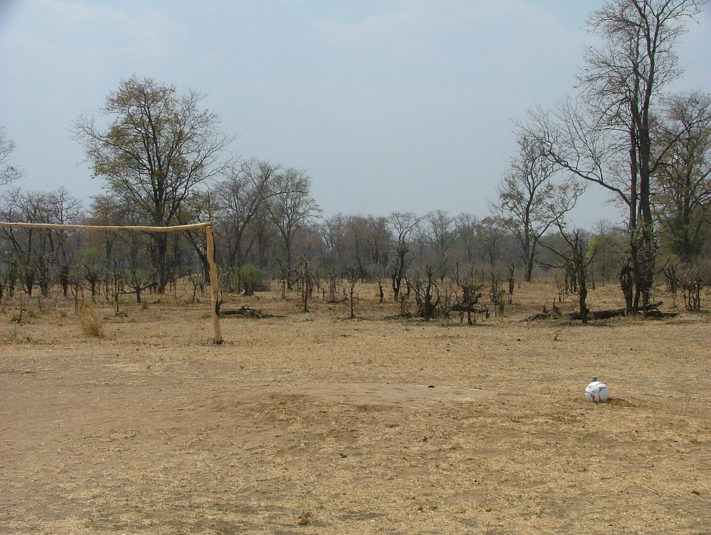
We pick a campsite right at the edge of the riverbank, overlooking the sandy expanse, soon to be filled by water when the rains come. We slide off to the bar for a cold drink (with ice!), and watch a herd of 19 elephants cross the expanse while the sun sinks into the smoky horizon. Then the hippos start rising from the pools coming to the banks to graze. It’s quintessential Africa. Rather than dash back to the car for my camera, I just revel in the moment. This is why we are here.

Petauke Road – Steve’s 2-cents

Carolyn and I were raised through the dissident 1960s and 70s. We are proudly ‘inquisitive’ to the point of being ‘difficult.’

We had contradictory advice from a variety of sources about this road. But one key piece of advice: Talk to the locals and use them as the most up to date source of local information. Talk to people! We did and it was always fun! We should have talked and hung out with the locals even more.

All the local information said the Petauke Road was do-able. It was surely the most interesting stretch of road we traveled in Zambia.

Leaving soccer balls on empty fields

Leaving soccer balls on empty fields

Villages were rural and apparently saw many more aid workers than tourists. Some villages had soccer fields where we left new soccer balls and drove away (we saw local kids playing with soccer sized wads of plastic wrapped with strips of inner tube).

Our advice: ask several locals about the road, arrive at the Petauke road-head early in the morning, dry season only, don’t go barreling across any concrete bridges, have GPS and a satellite phone, and be OK with spending the night if night falls or you break down. Be comfortable with being stranded in the bush of Africa. Or, take the Chipata Road where there will be traffic.

No Bridges? No Problem!

P1000208From our Tracks4Africa map, we knew that there was one bridge out before reaching the Mfuwe area, but there was a work-around. However, we didn’t expect many bridges to be out. Nearly all the crossings were dry, and most of the bridges were simply a concrete slab. Several of those slabs had collapsed or washed away – some were marked with the national hazard marking: a stack of branches and brush. But, some were not. Each time we got to the lip of a crossing, we stopped to peer over the hood of the rover to see if it was go or no. The numerous tracks generally showed the way around.

We suspected that we were getting closer to the Mfuwe area when the track turned into a recently graded road. We came to an open valley: zebra, giraffe, impala, baboons, warthogs, crested cranes and more. Enchanted, we stopped. Steve decided to take an early sundowner – after all, he had been driving rough tracks for hours. I was a little anxious to keep moving, as we still had about 40 kilometers to go. We pulled down to the edge of the valley, and Steve pulled out the side awning, unfolded the chairs and popped a beer. After Steve took a short nap (I still can’t figure out how he can sleep in these chairs), we folded everything back up and got back on the road.

The Unthinkable Route

Okay, we really did think about it…a lot. We painted the worst-case scenario: we broke down, couldn’t fix it ourselves, and we would have to call Safari Drive to bail us out. Given the remoteness of this route, we could be stuck for a day or two or three, really disrupting several days self-drive in the park. But, we are self-contained: we have food, water, shelter and beer.

We drove through Petauke – it’s far more developed than any of the guide books led us to believe. There were many lodge/camping options: many of them looked new, probably opening after the last guidebooks were published. Frankly, some looked like better options than last night’s campsite in the dirt.

There were plenty of people, goats and cattle on the road for the first 100 kilometers, and evidence that many villages had new boreholes and pumps. The road was well constructed and graded, and we passed several crews building diverter bars in the drainages to prevent roadside erosion.

After awhile, the road began to narrow and get more rutted. While the way was clear as we started to head down the escarpment, the road started to look more like a cobbled river drainage than an actual road. We came up behind a large open bed trailer-truck, loaded with sacks of maize, and about 8 or 9 people perched on top of the load. We figured that there must be a bigger settlement beyond the escarpment, and if that big truck could make the route so could we. It didn’t dawn on me until later that if that truck broke down in front of us, depending on the location, we might not be able to get around it.

Fortunately, nothing like this happened, and we were able to leave the truck behind somewhere past the escarpment.

Shortcuts and Very Cool Cultural Differences – Steve’s 2-cents

“Short cut” is what we heard over and over again about the Petauke road. But it took us nine hours. We compared notes with other travelers and learned that the alternative through Chipata was likely less time.

Well, it turns out that “short cut” has no relevance to time. “Short cut” means less fuel.

That’s such a cultural difference that it is cool to think about: Time doesn’t matter, cost does. That’s exactly opposite to my personal reality.

Sparrow’s Fart

Our previous day’s drive was short because, we were told, there was really no other good place to stop between Lusaka and the South Luangwa park gate. We had queried Safari Drive about a potential route across Lower Zambezi National Park to get to Bridge Camp. I think we heard the gasp across seven time zones when Clare read that e-mail query – it really wasn’t a viable option. Her return email read, “Do not even consider taking this route.”

But, there are two ways to get to the Mfuwe area, our next destination. One route, recommended to us, was to drive east to Chipata, and then loop back northwest to Mfuwe. While the road is paved to Chipata, the road from Chipata to Mfuwe is notoriously bad and slow going. In fact, our itinerary stated, “Allow 6 hours for the drive as the last part is dirt and quite dangerous. Slow and careful driving is essential as it is easy to slide off the road.”

The other option was to divert north at Petauke, dropping down the escarpment and essentially following the Luangwa River to Mfuwe. We were admonished, both in writing and on the telephone, that the Petauke Road was not an option: “You must drive via Chipata to South Luangwa. The road from Petauke north is 7 hours of very bad road and you should not think about driving that route.”

Hmmmm…”not think about it”…those words alone make us think about why we should not think about it.

Both are long, difficult roads. Other sources tell us that the Chipata/Mfuwe route is boring, but the Petauke road is more scenic. When we checked in with Chris back in Livingstone, he thought that we were quite capable of taking the Petauke Road. We reserved our final judgment for this morning, but we left at sparrow’s fart (Australian slang for dawn) to give ourselves the most daylight possible. After all, we didn’t want to break two rules in one day, taking the Petauke Road AND driving in the dark. Besides, we are much more afraid of driving in the dark than driving a difficult route!

We stopped at Petauke to fuel up, and asked our attendant about taking the Petauke Road to Mfuwe. Her response? “It’s a shortcut.” Well, okay, there you have it – the locals call it a shortcut. It was just before 9:00 a.m. – if it really was 7 hours of bad road, we have plenty of daylight to get there.

So, we turned north at Petauke. Nine hours later, we arrived at Wildlife Camp.

Driving at Night – Steve’ 2-cents

It would be absolutely crazy to drive at night. Either you or a local could die. I don’t mean to scare anyone, but it’s true. People, people on bicycles, people with 10-foot bundles of firewood on their head, cattle, goats, and elephants all use the roads — sometimes the middle of the road. Trucks break down and are in the middle of the lane. Everyone advised, and we agree, don’t drive at night.

Take Me to the River

Our next camp is on the banks of the Luangwa River, major waterway through the eastern half of Zambia. It’s a short, two-hour drive, but the scenery has gotten more interesting, with rolling topography and distant hills. At least, that’s what we can occasionally see when the smoke clears a bit. The further we get from Lusaka, the less human habitation we see. But, about every 30 kilometers, there stands a Kingdom Hall of Jehovah’s Witnesses. Religious organizations of many flavors have made a presence in Zambia, and they are quite present on the main roads. The western-style architecture is easy to spot – they stand out from the round mud walls and thatched roofs of the native style. We did note a number of abandoned structures, stripped of their windows, doors and hardware. Not every effort has been successful. Who knows how long the current ones will last?

We can tell when we start our descent out of the hills and down to the river. Human presence starts to pick up, and there is a significant village along the road and the riverbank. Since it is nearly the end of the dry season, the Luangwa is more a river of sand, with only a small channel of water.

It’s really dusty here. Actually, it has been dusty all along – Zambia has not seen significant rain for months, and the “emerald season” is not due for another six weeks. The contents in the back of the rover had a good dusting after our first day on the road – had we not closed the door properly? After ten days out, dust is pretty much a part of everything, even after Steve tried a wipe down back at Pioneer Camp in Lusaka. Apparently, land rovers are notoriously leaky, even fresh off the showroom floor. We’re just happy that it’s not raining!

Contrary to the website photos, Bridge Camp is not a verdant retreat. The campsite is dusty, and two other land rovers were crowded in on either side of us after we arrived. Several other guests stayed in chalets. We were the oldest guests there (by at least 20 years) and we were the only ones to do our own cooking. Only a stopover, we go to bed early – we have a long drive to South Luangwa National Park tomorrow.

Shopping

After a leisurely breakfast and shower, we head back into Lusaka to resupply. We have only two hours of mostly pavement to drive today, so we are not in a hurry.

We find the Super Spar shopping center – how did we miss it yesterday? We park and lock the rover, and marvel at all the specialty stores. The first stop is a well-supplied book store: I have been trying to find a Zambian supplement to the southern Africa bird guides. We find some interesting books, but they seem mostly for children. We head over to the Super Spar – a good-sized supermarket. We pick up beer, tonic water, juice, produce and biltong (African beef jerkey).

We look for a coffee shop – would it be possible to have a leisurely latte? Not finding an independent shop, we go back to the Super Spar for their coffee shop. Their espresso machine is broken, so we settle for “regular” coffee. Although it is instant coffee, there was some sort of elaborate preparation going on, which made it quite tasty, but certainly not “instant.”

After fueling up – 6,999 kwacha per liter – we got back on the Great East Road, headed for the mighty Luangwa River. We leave coffee shops and grocery stores behind, having escaped all of perils described by the State Department. I wonder how their assessment of New York City or San Francisco would read, and if they would sound just as scary.